MONTVIEL
- Geomega Owns 100% of the Montviel carbonatite deposit in Quebec
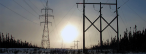
- Located in Quebec with power and road infrastructure available
- Largest rare earth Bastnaesite 43-101 resource estimate in North America
- 82.4 Mt @ 1.5% TREO & 0.17% Nb2O5 Indicated and over 184Mt Inferred
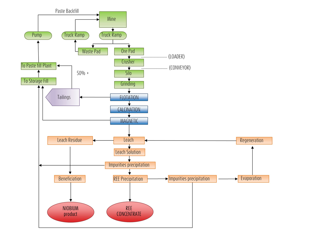
- Patented metallurgical process (US15/578,498)
- Strong support from the Quebec government, local communities and the CREE First Nation
- The most accessible REE project in Canada
- Project has been on stand-by since 2015 to allow scale up of Geomega’s processing technologies
Location
GéoMégA is developing its 100% owned Montviel Rare Earths Elements (REE) / Niobium project.
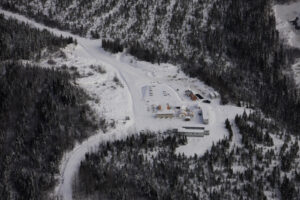
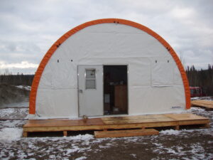
Montviel benefits from public infrastructure and available labour in the immediate area. The Project site is located approximately 100 km north of Lebel-sur-Quévillon (pop. 2,800) and 45 km west of the Cree First Nation of Waswanipi (pop. 1,800) in the urbanised southern part of Northern Quebec.
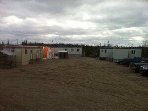
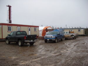
The Project carries a 2% net royalty to NioGold Mining Corp. (TSX.V: NOX). There are no environmental liabilities pertaining to the Project nor is the Project subject to any litigations. The only permits required to conduct work are the forestry management permits. There is no mining infrastructure on the Project site.
The project is comprised of 178 cells, for a total of approximately 9,910 hectares.
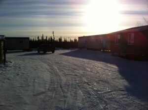
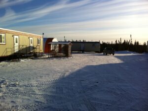
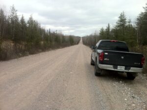
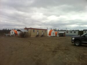
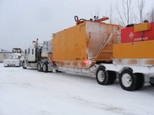
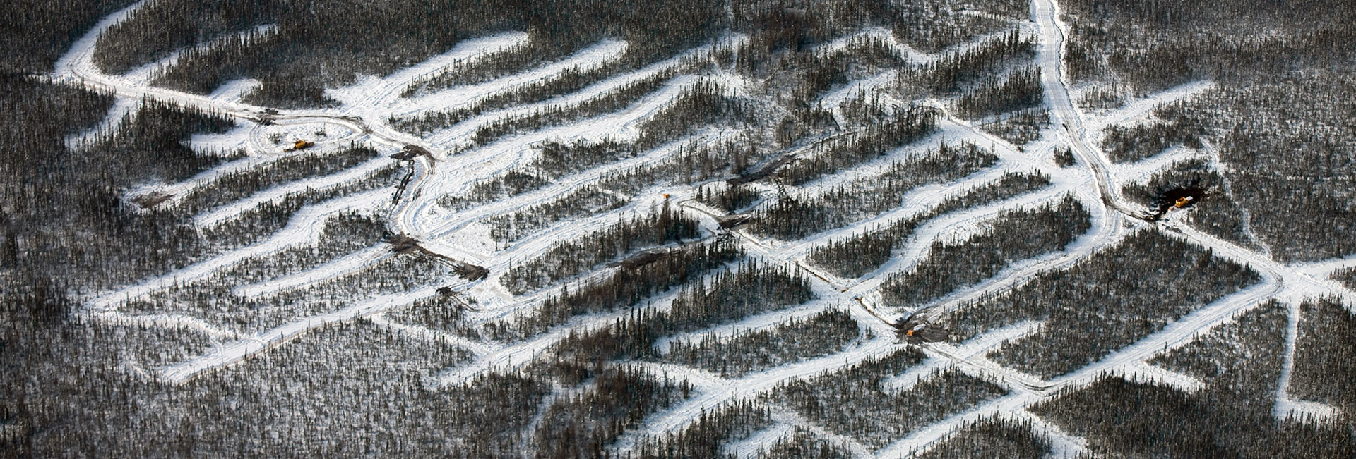
Montviel has permanent access via a network of oversize logging roads, after a 57 km drive from highway 113, which connects Val d’Or and Chibougamau. Heavy equipment can be mobilized by truck directly to the Project site.
Regional Geology
Montviel is located in the eastern part of the Superior geological province, at the junction between the Opatica and Abitibi sub-provinces. The Montviel alkaline intrusion, dated at 1,894 Ma, is enclosed in the Nomanstonalite, dated at 2,708.9 Ma.
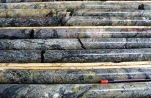
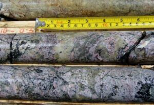
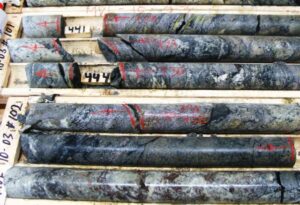
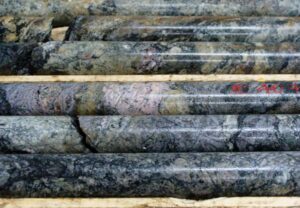
It is mainly composed of a carbonatite intrusion measuring approximately 10 x 3 km for a total of 32 square km. The ferrocarbonatite Core Zone,where the highest REE and Niobium values have been found to date, covers an area of approximate 3 square km. To date, GéoMégA has defined the REE/Niobium mineralized ferrocarbonatite over a length of 900 meters (NE-SW), a width of 650 meters (NW-SE) and vertically up to 750 meters in depth.
Core Zone Geology
Heavy Rare Earth Zone
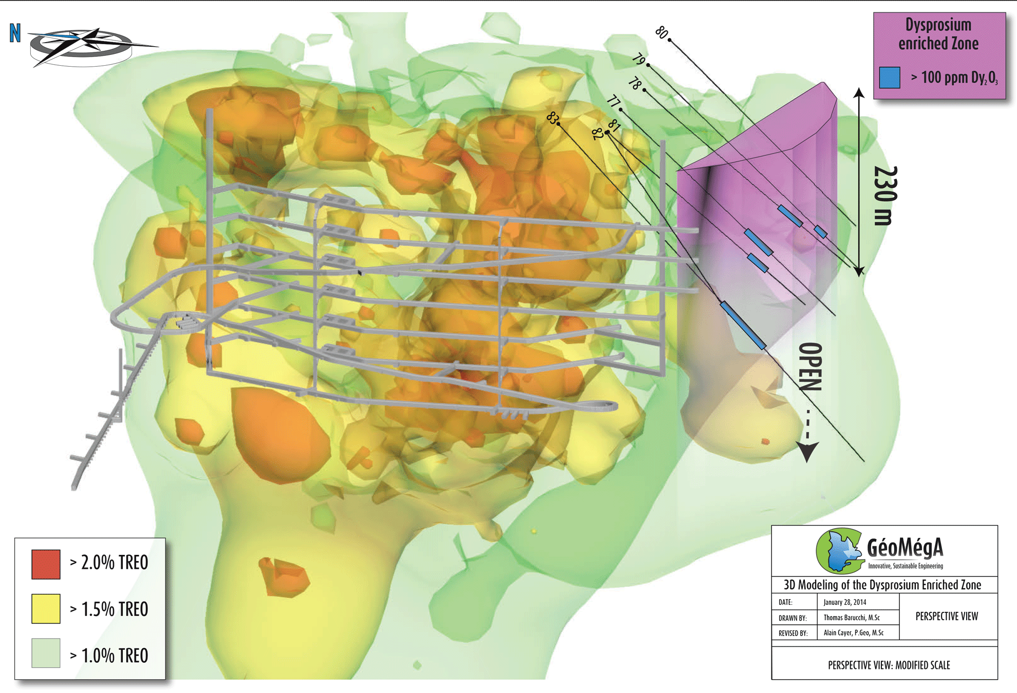
Located on the southern margin of the Core Zone, the heavy REE zone (“HREE-S Zone”) was intersected by five (5) drill holes over a length of 350 m (East-West), 20 m wide (North-South) and 230 m vertically. The zone remains open at depth.
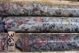
The heavy REE enriched minerals are fluorocarbonates similar to those found in the Core Zone. The 3D modeling and the mineralogical and geochemical characterization, realized in collaboration with the “Université du Québec à Montréal”, resulted in a geological interpretation of the HREE-S Zone.
In addition, this work identified a new heavy REE zone, located on the North-western margin of the Core Zone.
“The width of the HREE-S Zone, and the preliminary interpretation of a 2nd zone, confirm the excellent potential of the Montviel carbonatite to contain heavy REE enrichment.” comments Alain Cayer, Vice-President Exploration of GéoMégA.
Drill holes MVL-13-80 and MVL-13-82 completed Phase 3 and defined the east and west extremities of the HREE-S Zone.
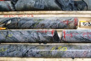
| Phase 3 Highlights – (Diamond Drilling of 2,058 metres) | |||||||||
| Hole | Section/Dip/ Azimuth | From | To | Core Length(1) | TREO(2) | Dysprosium oxide | Neodymium oxide | Europium oxide | Terbium oxide |
| (m) | (m) | (m) | (%) | ppm | ppm | ppm | ppm | ||
| 77 | 7+25W/ 150º/ -45º | 172.5 | 181.85 | 9.35 | 1.13% | 101 | 2,389 | 103 | 28 |
| 196.6 | 205.1 | 8.50 | 0.85% | 118 | 1,606 | 85 | 30 | ||
| 78 | 6+35W/ 150º/ -45º | 180.0 | 207.35 | 27.35 | 1.43% | 170 | 2,495 | 118 | 40 |
| Inc. 183.0 | 190.5 | 7.50 | 2.38% | 384 | 4,667 | 242 | 90 | ||
| Inc. 183.0 | 184.5 | 1.50 | 1.13% | 830 | 1,662 | 230 | 172 | ||
| 79 | 5+45W/ 150º/ -45º | 231.0 | 243.0 | 12.00 | 1.85% | 101 | 2,896 | 129 | 25 |
| 81 | 8+15W/ 150º/ -45º | 186.0 | 208.5 | 22.50 | 0.69% | 105 | 1,388 | 77 | 24 |
| 83 | 7+70W/ 150º/ -45º | 240.0 | 253.5 | 13.50 | 0.76% | 112 | 1,595 | 87 | 28 |
| 259.5 | 267.0 | 7.50 | 0.66% | 112 | 1,610 | 75 | 28 | ||
| 282.0 | 300.0 | 18.00 | 0.55% | 100 | 1,190 | 74 | 25 | ||
| 1. True width is estimated between 60 to 75% based on structural interpretation of the HREE-S Zone. | |||||||||
| 2. Cerium, Lanthanum, Neodymium, Praseodymium are the most abundant rare earth oxides. | |||||||||
| 3. 0.1% = 1 kg/ton ; 1 ppm = 1 gram/ton. | |||||||||
Drill Sections
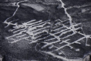
Click on the links below to open the corresponding sections (Surface plan with the drill section grid in the previous section “Core Zone”):
3D Modeling
This preliminary 3D modelling helps spatially visualize Montviel deposit and the proposed access ramp.
This model and any associated infrastructure in it is subject to change in the future without any prior notice.
Total Mineral Resources
| NSR Value(CAD$/tonne) | Category | MillionTonnes | TREOGrade (%) | Pr2O3 | Nd2O3 | Eu2O3 | Nb2O5 | ||||
| Grade (ppm) | Contained (M kg) | Grade (ppm) | Contained (M kg) | Grade(ppm) | Contained (M kg) | Grade (ppm) | Contained (M kg) | ||||
| 335 | Indicated | 82.4 | 1.51 | 766 | 63.2 | 2,452 | 202 | 52 | 4.3 | 1,715 | 141.3 |
| 312 | Inferred | 184.2 | 1.43 | 746 | 137.4 | 2,433 | 448.3 | 47 | 8.7 | 1,315 | 242.3 |
Dysprosium Zone (included in Total mineral resources above)
| NSR Value(CAD$/tonne) | Category | MillionTonnes | TREOGrade (%) | Pr2O3 | Nd2O3 | Tb2O3 | Dy2O3 | ||||
| Grade (ppm) | Contained (M kg) | Grade (ppm) | Contained (M kg) | Grade(ppm) | Contained (M kg) | Grade (ppm) | Contained (M kg) | ||||
| 234 | Indicated | 0.37 | 0.84 | 421 | 0.2 | 1,628 | 0.6 | 26 | 0.01 | 109 | 0.04 |
| 241 | Inferred | 2.58 | 0.94 | 459 | 1.2 | 1,693 | 4.4 | 23 | 0.06 | 94 | 0.24 |
| 1. Mineral resources are estimated and reported in compliance with NI 43-101. Mineral resources are not mineral reserves and do not have demonstrated economic viability. | |||||||||||
| 2. Mineral resources are estimated and reported in compliance with NI 43-101. | |||||||||||
| 3. Mineral resources are estimated at an NSR cut-off value of CA$180 per tonne. | |||||||||||
| 4. Discounted metal price assumptions for REO of: US$4.70/kg for La2O3, US$2.90/kg for Ce2O3, US$64.50/kg for Pr2O3, US$57.30/kg for Nd2O3, US$5.80/kg for Sm2O3, US$501.20/kg for Eu2O3, US$10.80/kg for Gd2O3, US$572.80/kg for Tb2O3, US$304.30/kg for Dy2O3 and US$7.20/kg for Y2O3. | |||||||||||
| 5. Metal recovery assumptions: 90.8% for La2O3, 87.9% for Ce2O3, 90.3% for Pr2O3, 90.7% for Nd2O3, 86.4% for Sm2O3, 85.6% for Eu2O3, 79.3% for Gd2O3, 75% for Tb2O3, 61.7% for Dy2O3 and 49.1% for Y2O3. | |||||||||||
| 6. Metal price and recovery assumptions of US$45/kg and 65.5% respectively for Nb2O5. | |||||||||||
| 7. Mineral resources are not mineral reserves and do not have demonstrated economic viability. | |||||||||||
TEST
| NSR Value(CAD$/tonne) | Category | MillionTonnes | TREOGrade (%) | Pr2O3 | Pr2O3 | Nd2O3 | Nd2O3 | Eu2O3 | Eu2O3 | Nb2O5 | Nb2O5 |
| Grade (ppm) | Contained (M kg) | Grade (ppm) | Contained (M kg) | Grade(ppm) | Contained (M kg) | Grade (ppm) | Contained (M kg) | ||||
| 335 | Indicated | 82.4 | 1.51 | 766 | 63.2 | 2,452 | 202 | 52 | 4.3 | 1,715 | 141.3 |
| 312 | Inferred | 184.2 | 1.43 | 746 | 137.4 | 2,433 | 448.3 | 47 | 8.7 | 1,315 | 242.3 |
Reports & Studies
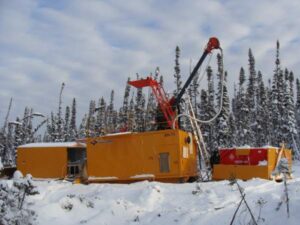
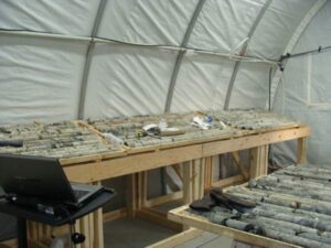
An initial resource estimate was completed on September 20, 2011 by SGS Géostat from Blainville, Quebec. The initial resource estimate encompasses the mineralization identified in the ferrocarbonatite Core Zone covering approximately 750 meters by 400 meters and a vertical depth of 450 meters. The resource estimate is based on 19 of the 20 diamond drill holes (8,856m) drilled between December 2010 and May 2011.
 Transfert des REE du Manteau au Bouleau (REE transfer from mantle to trees). Divex. 2015. |
Evolution of Montviel alkaline–carbonatite complex by coupled fractional crystallization, fluid mixing and metasomatism. Nadeau et al. 2015. Part I / Part II. | |
 Significant reduction in hydrochloric acid consumption in rare earth extraction from ferrocarbonatite (Montviel project), 2016 |
Environmental Studies
The primary objective of the baseline environmental study (“BES”) conducted by Geodefor was to collect a sufficient amount of environmental data based on existing information and field surveys to refine the technical description of the project and integrate it into a future environmental and social impact study (“ESIS”), which is required under the Environment Quality Act (R.S.Q., c. Q-2). This study defined the reference state of the receiving environment prior to establishment of the Project. In general, no major constraints to the installation of mining infrastructures were identified in the baseline environmental study conducted by Geodefor.
2011 GEODEFOR – Baseline Conclusion & Recommendation.  | 2013 ROCHE – Baseline  |
Metallurgy
